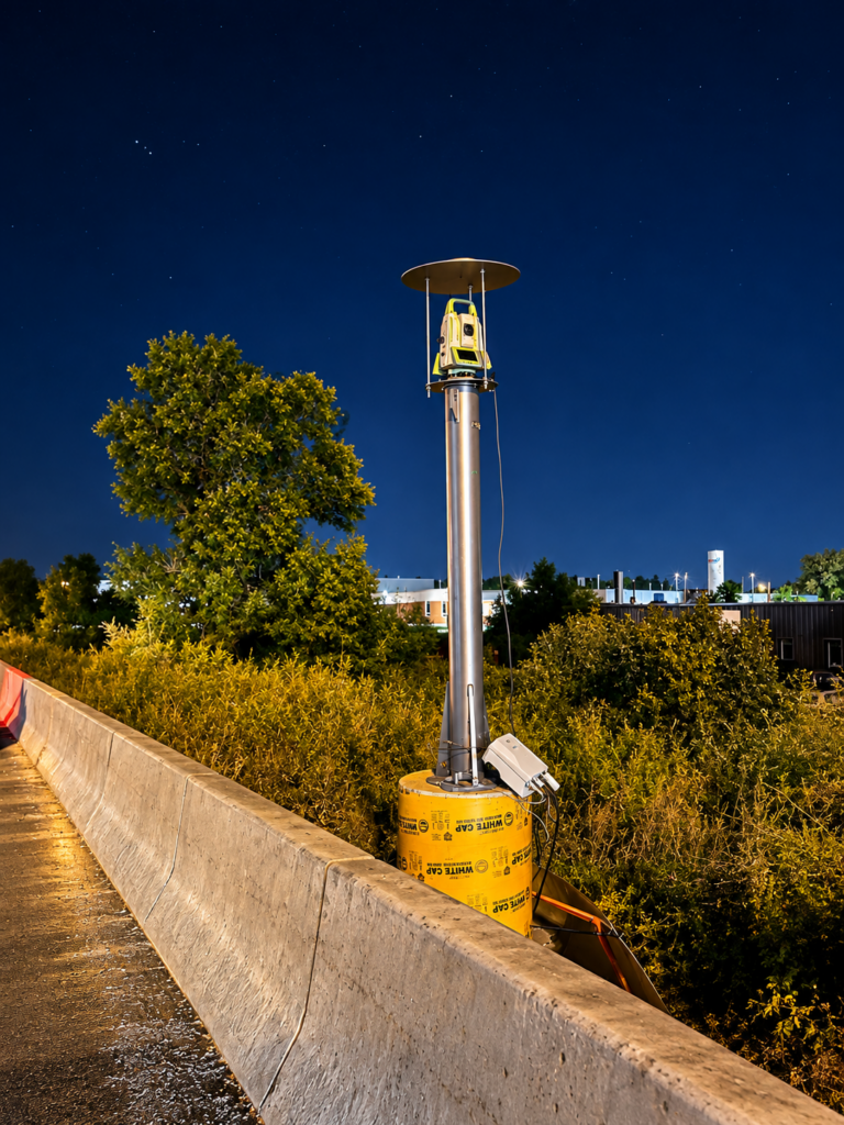
Traditional displacement monitoring provides reliable information about the condition of infrastructure and construction sites. Typically, measurements are collected periodically – daily, weekly, or monthly – to assess whether movement has occurred. While this approach has served the industry well for many years, there are inevitably periods between observations when changes can go undetected.
Automated monitoring takes a different approach. Permanently installed robotic survey instruments repeatedly measure specified points and automatically transmit the results to intelligent monitoring software. The data is processed and made available through live dashboards, giving project teams continuous visibility into the condition of monitored assets without relying solely on the next scheduled site visit.
The real value of automated monitoring is the ability to identify changes as they occur. The system automatically evaluates each measurement against predefined warning and alarm thresholds, and when movement exceeds those limits, automated alerts can notify the project team. This allows engineers and contractors to investigate and respond while an issue is developing.
This capability is particularly valuable during high-risk activities such as deep excavations, tunnelling, bridge construction, rail projects, and construction adjacent to existing buildings or other critical infrastructure. In these situations, the ability to respond quickly to potential risks – and to understand when movement began and how quickly it is progressing – is key.
Automated monitoring also creates a detailed record of movement throughout the project. Historical trends provide engineers and project stakeholders with a clear record of changing conditions that can support decision-making or engineering assessments. Additionally, by reducing the need for frequent site visits, the system can lower ongoing field labour cost while simultaneously providing a much greater volume of monitoring information. The end result is a more proactive and efficient approach to managing movement and protecting critical assets.